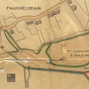
Lands of Hopetoun, Niddry Farm
code: 194706
Collection code:
194706
Collection:
Description
Lands of Hopetoun, Niddry Farm. Map of the Lands of Hopetoun, Niddry Farm produced by the Broxburn Works on 12th December 1956 and amended on 25th January 1958. Depicts the Broxburn Works Bing, south spent shale bing, north spent shale bing and the Niddry Row. Scale: 1/2500. Note: the Estate Boundary edged Payne's Grey.
None