Plans
Maps, plans, architectural and technical drawings
| Image | Code | Title | Type | Description |
|---|---|---|---|---|
|
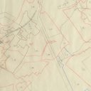
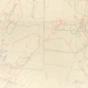
LVSAV1984.033 | Plan - tracing of shale seams in Philpstoun area | File Record | Tracing of shale seams, Philpstoun and Whitequarries mines |
|
LVSAV1984.034 | Plan - tracing of shale seams in Philpstoun area | File Record | Tracing of shale seams, Philpstoun area, unmarked |
|
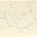
LVSAV1984.035 | Plan - tracing of shale seams, Philpstoun area | File Record | Tracing of shale seams, Philpstoun area, precise location not marked |
|
LVSAV1984.036 | Plan - tracing of shale seams in Philpstoun area | File Record | Tracing of shale seam in the Philpstoun area: |
|
LVSAV1984.037 | Plan - tracing of shale seams in Philpstoun area | File Record | Tracing of shale seams at Whitequarries |
|
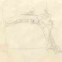
LVSAV1984.038 | Plan - tracing of shale seams in Philpstoun area | File Record | Unmarked shale seam in the Philpstoun region |
|
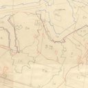
LVSAV1984.039 | Plan - tracing of shale seams in the Philpstoun area | File Record | Tracing of shale seams, showing Hopetoun, Tottleywells, Whitequarries and Duddingston mines |
|
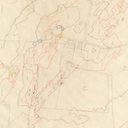
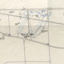
LVSAV1984.040 | Plan - mineral claim near Duntarvie | File Record | 1/2500 mineral claim (for damaged ground?) on the Hopetoun estate, at Duntarvie. |
|
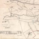
LVSAV1984.041 | Plan - mineral claim near Midhope | File Record | 1/2500 mineral claim tracing of land on Hopetoun estate, around Midhope. |
|
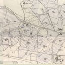
LVSAV1984.042 | Plan - mineral claim near Craigton | File Record | 1/2500 mineral claim tracing Hopetoun estate, Craigton, Philpstoun House etc. |