.
West Calder to Hermand Birchwood


See index map showing all footpaths.
A walk of two kilometers, in part following the old drove road along which cattle were once herded to the markets of the south. The section from West Calder old kirk to the Harburn Water follows public roads then a gated farm track past Westmuir farm. The way is generally firm underfoot. South of the footbridge, the original route of the road has been obliterated and a new path now follows the field margins, taking a winding and picturesque course between trees and along the glen of a small burn. The path turns and continues within a wooded roadside strip before reaching Hermand birch wood; a site of special scientific interest. There are gates and stiles, and most of the path is unsurfaced.

James Knox - Map of the County of Midlothian, 1843, courtesy National Library of Scotland - with route annotated.
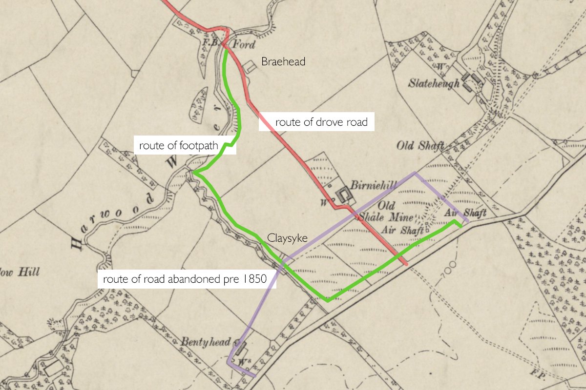
6" OS map c.1905, marked up to show the routes of the footpath and abandoned roads
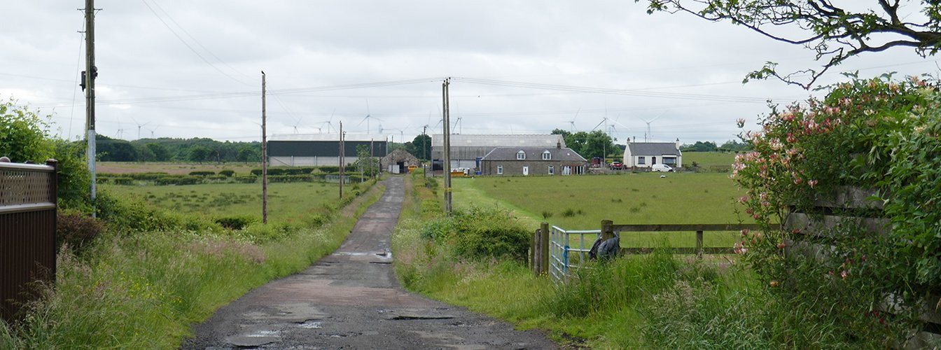
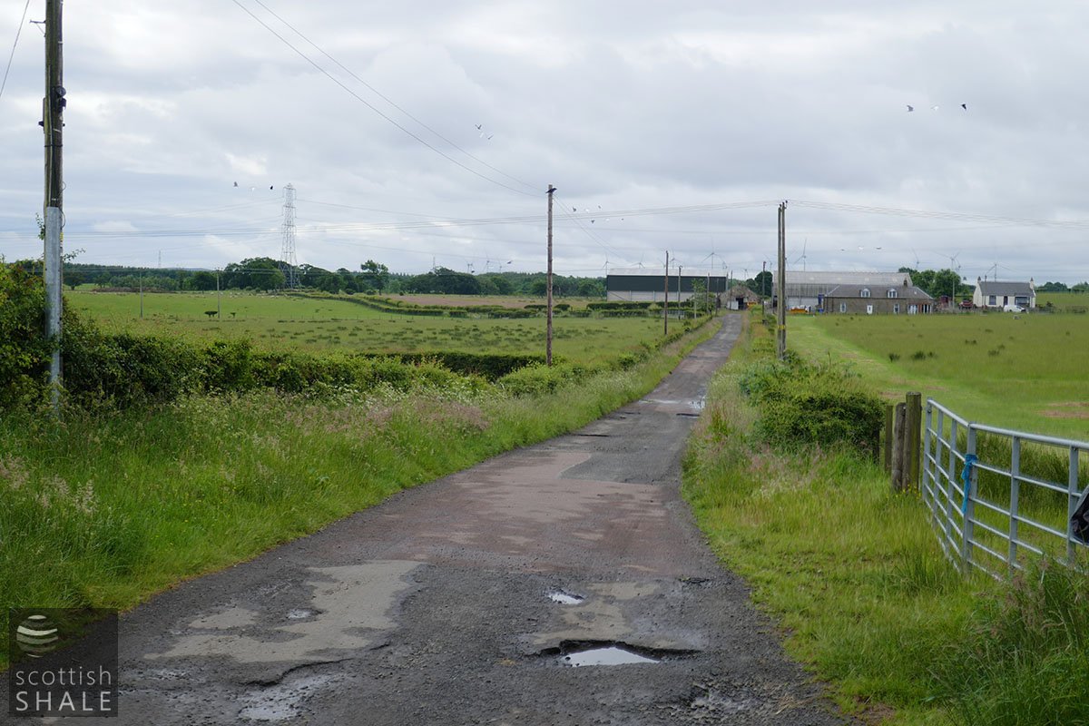
From Glebe Road, carry on along the track to Westmuir farm. July 2021
Looking back towards West Calder. July 2021
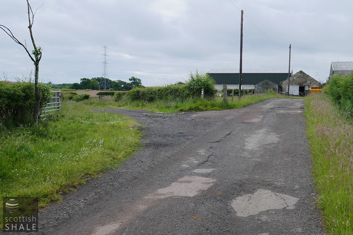
The path diverges from the road to Westmuir Farm. July 2021

Looking back to West Calder and the distant Five Sisters. July 2021

Through the gate. July 2021
Along the track. July 2021

Descend towards the ford. July 2021
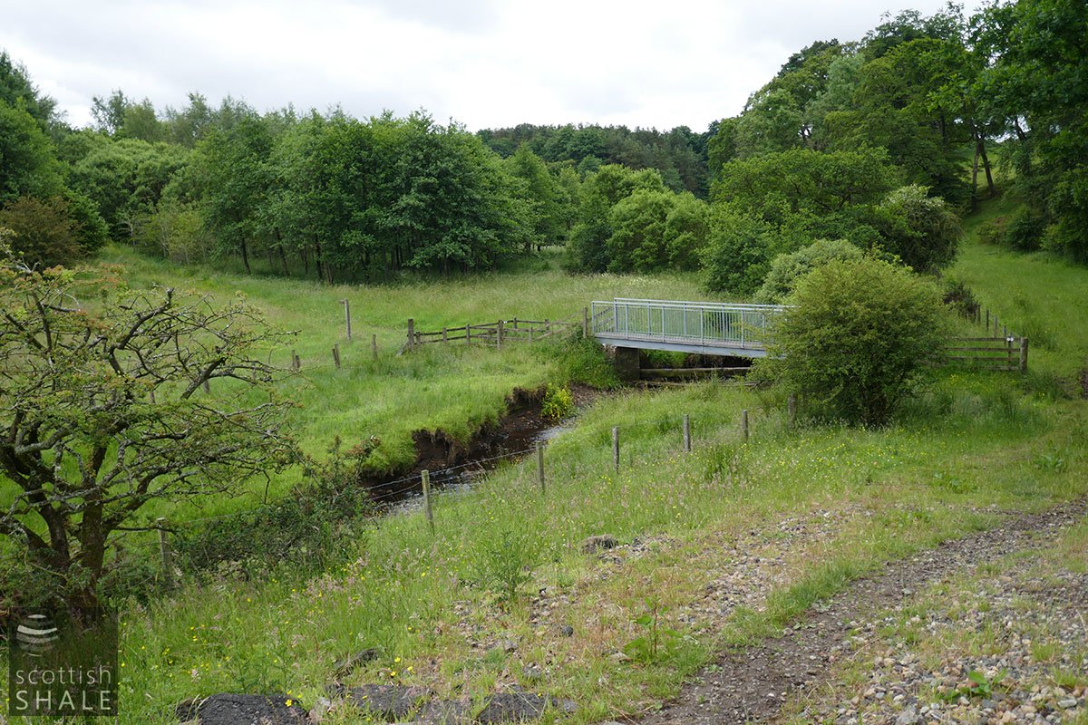
The footbridge. July 2021

South of the Breich water, follow the field margins. July 2021

Through the hole in the hedge. July 2021

A lovely view back towards the ford. July 2021

Turn a corner here. July 2021

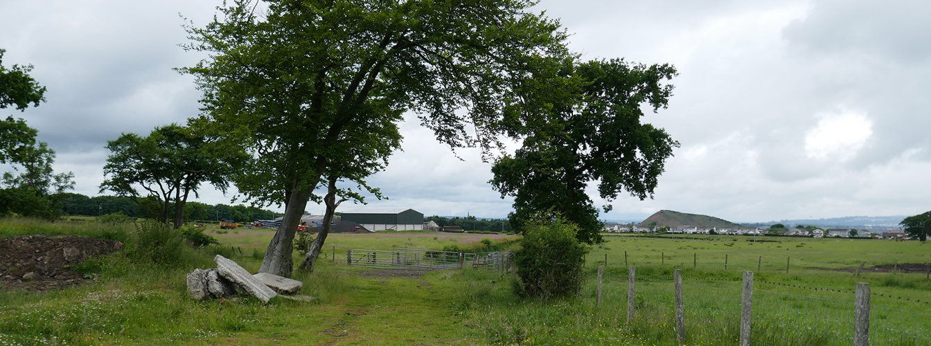
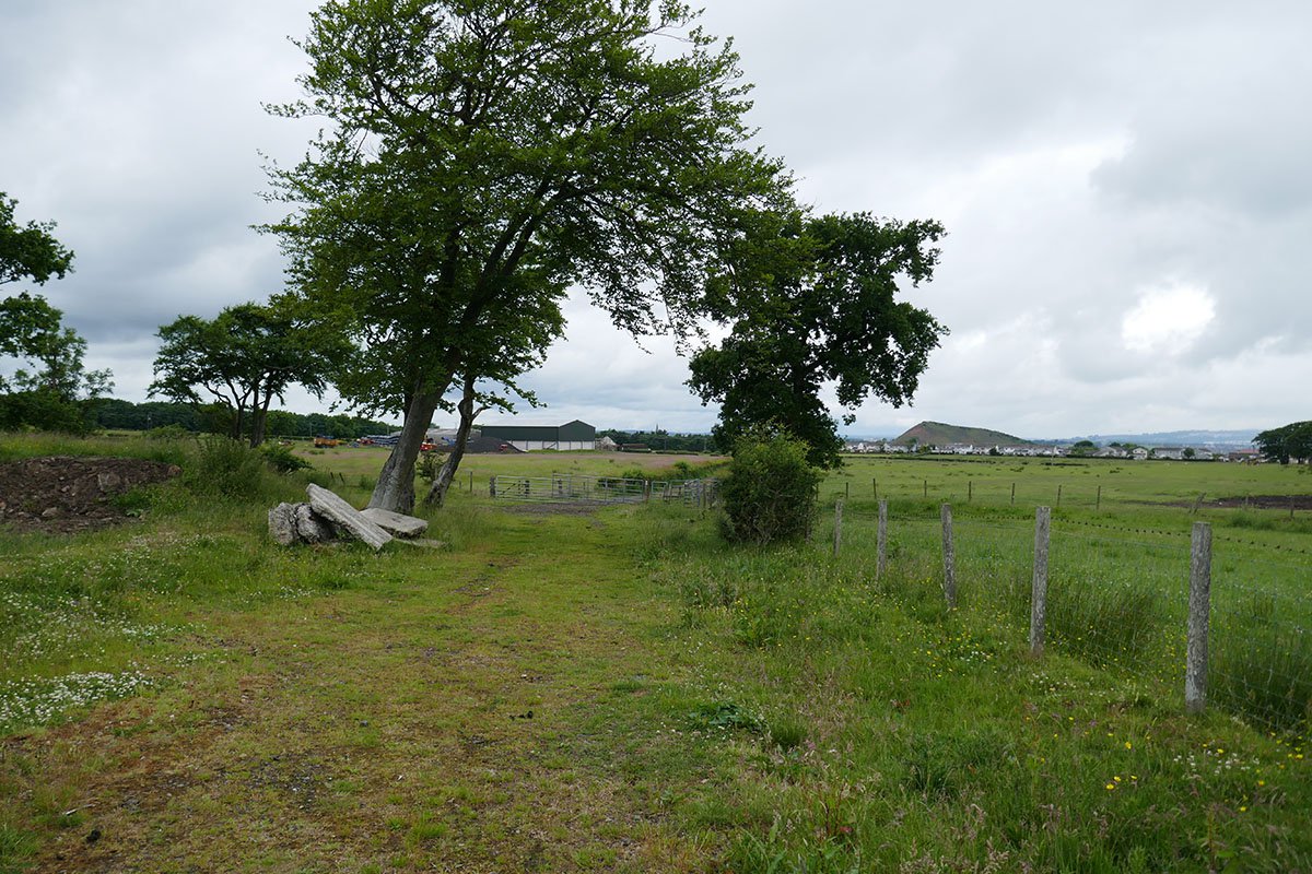
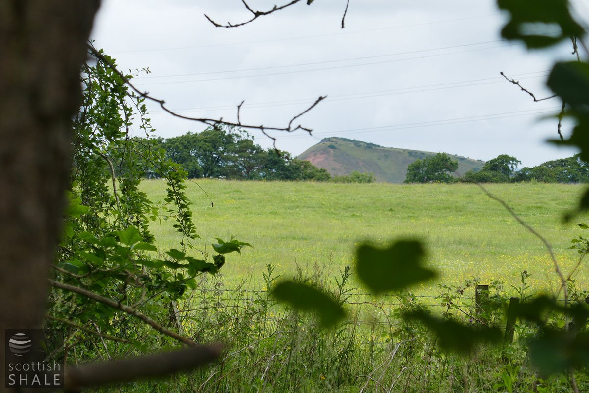
A view across to where Birniehill farm once stood. July 2021

The path winds through the glen. July 2021

Along the plantation. July 2021
A very distant view of the Five Sisters. July 2021

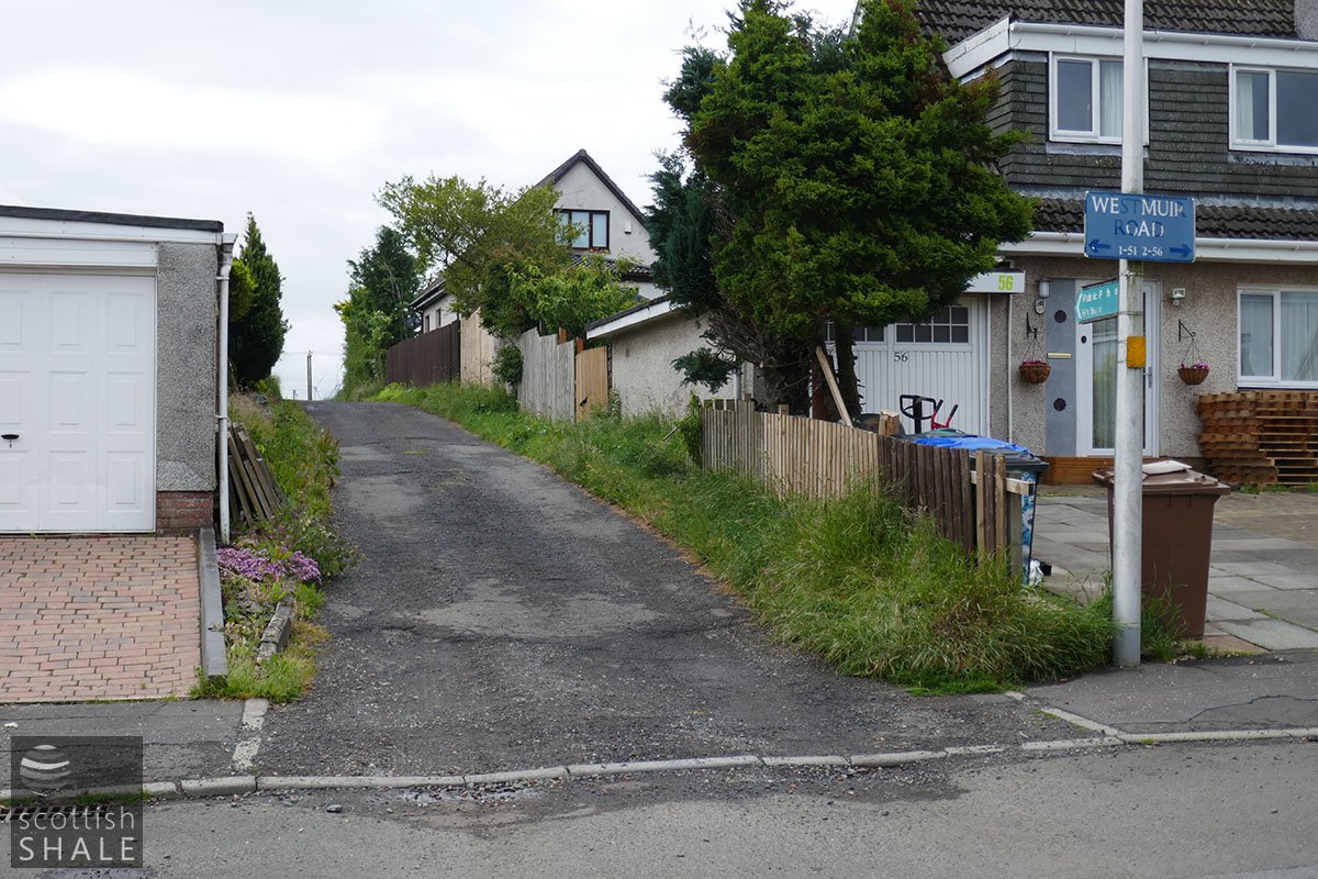
The road to Binniehill farm once joined the main road here. July 2021
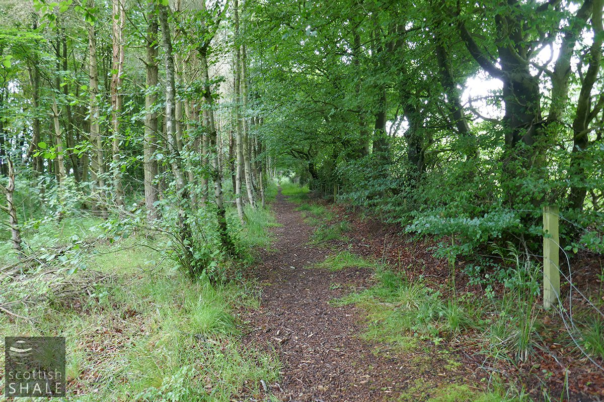
Continuing along the roadside strip.